Let me show you around
Elyria-Swansea
Early 1900s cottages and postwar tract houses on Denver's north edge, split by the railroad and I-70, which now runs below a four-acre park. The National Western campus and the Coliseum fill the west end.
About 50% of homes here were built between 1940 and 1959, median 890 sq ft. What to check on houses like these
Live listings on compass.com. Send me any address and I’ll tell you what to look for.
Winter sun
Which driveways stay iced in December and which back yards keep the afternoon. Worth knowing before you fall for a house.
See how the winter sun falls on Elyria-Swansea (opens in new tab)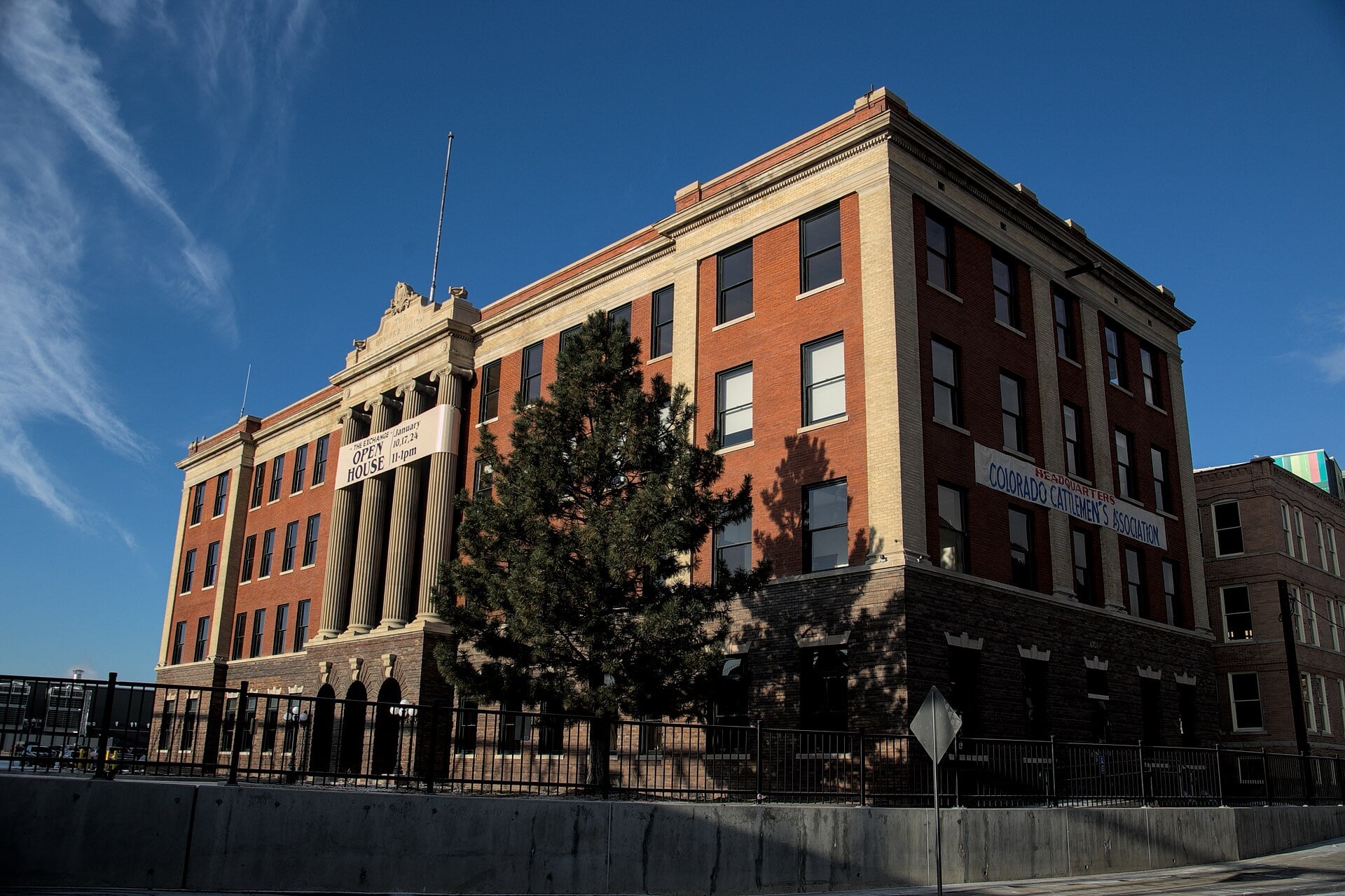
Housing stock: Denver Assessor open data, 2026-09-19.
Living in Elyria-Swansea
Elyria-Swansea sits at the top of Denver. The South Platte River and Riverside Cemetery mark the west edge, Colorado Boulevard the east, the Adams County line the north, and 38th Street and 40th Avenue the south. Elyria is the western half and Swansea the eastern half, with York Street as the dividing line.
Two railroad towns that Denver annexed
Swansea took shape around 1870, after the Kansas Pacific and Union Pacific railroads were finished and a smelter went up where they met. Elyria was platted in 1881 by Colonel Archie E. Fisk, named for his Ohio hometown, and incorporated as a village in 1890. Denver annexed Swansea in 1883 and 1902 and Elyria in 1902, then renamed their streets to fit the city grid.
The houses
The housing here grew up around the railroads, packing houses and smelters, and most of Elyria's was built by 1929. After World War II, small farms in Swansea were cut up into tracts of affordable housing for returning servicemen. So the choice is mostly an early cottage on the west side or a postwar house farther east.
At 1901 E. 47th Ave., on the corner of High Street, the 1923 Spanish Revival building was a Carnegie library until 1952 and is now a private home.
I-70 went under and a park went on top
Construction of I-70 through the neighborhood started in 1961 and took 31 houses. The Central 70 project lowered the highway below grade between Brighton and Colorado Boulevards, and a four-acre cover park now sits over it between Columbine and Clayton Streets. It opened on November 30, 2022, with turf soccer fields, two playgrounds, a bandstand and a building you can rent for events. The old viaduct is gone, so the blocks beside the park are worth comparing to others in the neighborhood.
The National Western campus and the river
The west end is the National Western Center. The Denver Coliseum, a city-owned arena at 4600 Humboldt St., hosts the Stock Show, ice shows and concerts. Next to it, two new buildings debuted for the January 2026 Stock Show: the Sue Anschutz-Rodgers Livestock Center, with a 5,000-seat arena, and the Legacy, the Stock Show's headquarters, which has an art gallery for the National Western's collection. A 4,000-seat equestrian center with a hotel broke ground in fall 2025.
CSU Spur, at 4777 National Western Dr., is free to visit on weekdays from 9 to 5. It has rooftop greenhouses, a café and live animal surgeries you can watch. Behind the campus, six acres of the South Platte's east bank, once rail tracks and livestock pens, are now open space with a 250-person amphitheater, tied into the regional trail system.
For lunch, Tacos El Huequito at 2111 E. 48th Ave. is a neighborhood taco staple that started as a food truck in 2015. Birria tacos are a popular order, and it holds 4.7 out of 5 stars on Google. Over at 3625 E. 48th Ave., Moodswing fills a renovated warehouse with a brick-oven pizza kitchen, a coffee bar and pickleball courts, six indoors and six covered outside. On the southern edge at 38th Street, The Butcher Block Cafe is a family-owned breakfast diner known for its plate-size cinnamon rolls.
Getting around
Two RTD rail lines stop here. The A Line's 40th & Colorado station, at 4220 Garfield St. on the Park Hill border, has a 200-space park-and-ride. The N Line's National Western Center station, at 4903 Brighton Blvd., is the first stop north of Union Station. Brighton Boulevard runs along the west side, Colorado Boulevard marks the east edge, and I-70 crosses the middle.
Soil cleanup
Smelters and rail yards operated here for most of a century. A class-action settlement had ASARCO pay $38 million to clean arsenic, cadmium and lead out of neighborhood soil. If you're looking at a house with a yard, ask for any soil testing or cleanup records on that lot.
FAQ
Where is Elyria-Swansea?
On Denver's north edge, from the South Platte River east to Colorado Boulevard and from 38th Street and 40th Avenue north to the Adams County line. Elyria is the west half and Swansea the east.
How old are the houses?
Most of Elyria's housing was built by 1929. Swansea added tracts of affordable housing on former farmland after World War II.
Is I-70 still a viaduct through the neighborhood?
No. The Central 70 project lowered it below grade, and a four-acre park now covers it between Columbine and Clayton Streets.
Can I take the train downtown?
Yes. The A Line stops at 40th & Colorado, which has a 200-space park-and-ride, and the N Line stops at National Western Center, the first station north of Union Station.
What is the National Western Center?
The campus for the Stock Show, with the Denver Coliseum, the new Livestock Center and Legacy building, CSU Spur and an equestrian center that broke ground in fall 2025.
Was there contamination here?
A class-action settlement had ASARCO pay $38 million to clean arsenic, cadmium and lead out of neighborhood soil. Ask for soil testing or cleanup records on any lot you're considering.