Let me show you around
The Highlands
Northwest Denver's old Town of Highlands, mostly pre-1940 houses on square blocks, some with a center carriage lot. Potter-Highlands covers the blocks above 32nd Avenue, Scottish Village sits below it, and Federal Boulevard runs along the west side.
About 79% of homes here were built before 1940, median 1,450 sq ft. What to check on houses like these
Live listings on compass.com. Send me any address and I’ll tell you what to look for.
Winter sun
Which driveways stay iced in December and which back yards keep the afternoon. Worth knowing before you fall for a house.
See how the winter sun falls on the Highlands (opens in new tab)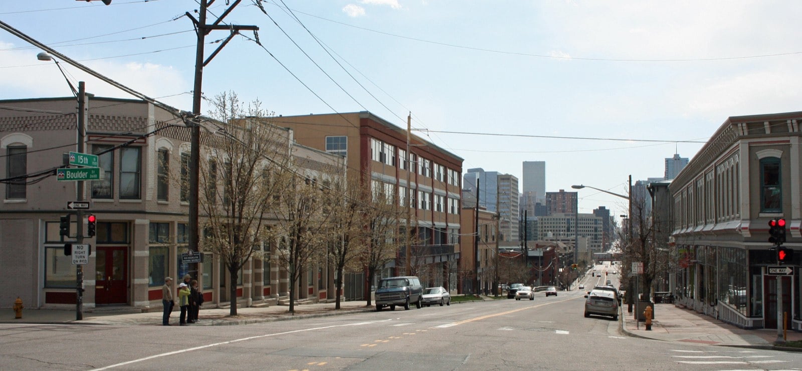
Housing stock: Denver Assessor open data, 2026-09-19.
Living in the Highlands
The Highlands, officially Highland on the city's map, is the hill northwest of downtown, across I-25 and the South Platte. West 38th Avenue is the north edge, Federal Boulevard the west, Speer Boulevard the south, and a Union Pacific rail line by the river the east, though the neighborhood association draws that line at I-25. West Highland starts on the other side of Federal. The lower blocks down by I-25 that people call LoHi are part of the Highlands too, and they get a page of their own.
A town of its own until 1896
Residents formed the Town of Highlands in 1875, and it was its own town until Denver annexed it in 1896. The town had more than 35 subdivisions by 1890, and it kept liquor licenses so scarce that none were issued until well after Prohibition.
Potter-Highlands, north of 32nd
Rev. Walter McDuffie Potter homesteaded 320 acres on the hill in 1864 and died in 1866 at 29. His land was sold to developers, and a 36-block district was platted in 1872 between Federal, 38th, Zuni and 32nd. Many blocks were laid out around a central carriage lot, and about 13 of the 36 still have one, so look at the alley side of a listing as closely as the front.
The Potter-Highlands Historic District covers 276 acres and nearly 700 buildings, 571 of them counted as contributing. You'll see Victorians, Foursquares and Mission Revival houses from before the 1893 silver crash, then Prairie, Colonial Revival, Dutch Colonial Revival and Craftsman. The Henry Lee House, an 1880 Queen Anne at 32nd and Clay, is a Denver Landmark. Lumber baron John Mouat's mansion was cut into 23 apartments during World War II, restored after the city condemned it in 1991, and is now the Lumber Baron Inn. Denver created the district in 1979 and enlarged it in 1987. Because it's a city historic district, ask how the landmark rules touch your plans for windows, additions or a garage before you write an offer.
Scottish Village, below 32nd
Just south of 32nd, a small triangle breaks the grid. General William Jackson Palmer and Dr. William A. Bell planned Highland Park in 1874, and the 23.8-acre district bounded by 32nd, Zuni, Dunkeld Place and Clay is the only part of that subdivision that survives intact. Streets like Fife and Argyle give it the Scottish Village name. It has been on the National Register since 1985, and its 133 contributing buildings are mostly modest: cottages, duplexes, triplexes and small apartment buildings, in Gothic, Queen Anne, Classic Cottage and Mission styles.
What the houses add up to
Denver Assessor open data counts 1,530 detached single-family houses in the Highlands. About 79 percent were built before 1940 and 15 percent since 2000, with almost nothing in between, and the median is about 1,450 square feet. Those numbers leave out condos, rowhomes and small apartment buildings. If you want a newer detached house, you're shopping in a thin slice of the market; most of what you'll tour is pre-war.
32nd Avenue and Tejon Street
Spuntino, at 2639 W. 32nd Ave., has been run by Elliot Strathmann and Cindhura Reddy since 2014, with hand-rolled pastas, a long amaro list and dishes drawn from Reddy's Indian heritage; it's on Westword's list of the best Italian restaurants in Denver. Up at 3760 Tejon, Gaetano's has been serving the Northside since the 1940s and sits on Westword's list of Denver's best old-school red-sauce Italian spots.
Getting around
Federal Boulevard on the west and Speer Boulevard on the south are the big roads, and I-25 runs along the east side toward downtown.
FAQ
What are the Highlands' boundaries?
West 38th Avenue on the north, Federal Boulevard on the west, Speer Boulevard on the south, and the rail line by the South Platte on the east. The neighborhood association uses I-25 as the east line.
Is LoHi the same as the Highlands?
LoHi is the lower part of the Highlands near I-25. The city's map only shows Highland, its official name for the Highlands, and LoHi has its own page here.
How old are the houses in the Highlands?
Denver Assessor open data shows about 79 percent of detached houses were built before 1940 and 15 percent since 2000. The median is about 1,450 square feet.
Is the Highlands a historic district?
Parts of it. The Potter-Highlands Historic District covers the blocks between Federal, 38th, Zuni and 32nd, and the smaller Highland Park (Scottish Village) district sits just south of 32nd. Ask how the city's landmark rules apply before you plan exterior work.
Why do some blocks in the Highlands have a lot in the middle?
Potter-Highlands was platted in 1872 with central carriage lots on many blocks, and about 13 of the 36 still have one.
When did the Highlands become part of Denver?
Highlands was its own town from 1875 until Denver annexed it in 1896.