Let me show you around
Jefferson Park
A small grid between Federal Boulevard and I-25 on the old Highlands streetcar line, with 25-foot lots, a 6.7-acre park at 23rd and Clay, and Empower Field at the south end.
About 84% of homes here were built before 1940, median 1,360 sq ft. What to check on houses like these
Live listings on compass.com. Send me any address and I’ll tell you what to look for.
Winter sun
Which driveways stay iced in December and which back yards keep the afternoon. Worth knowing before you fall for a house.
See how the winter sun falls on Jefferson Park (opens in new tab)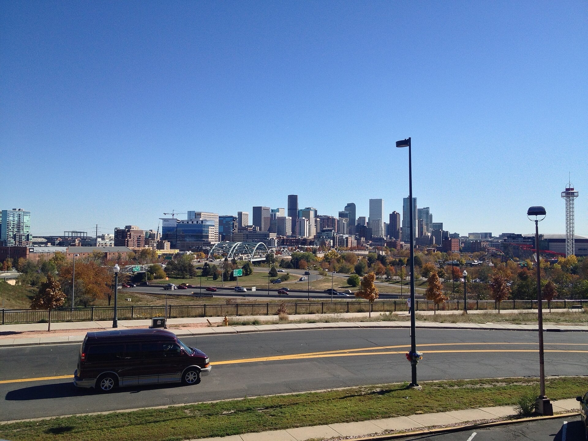
Housing stock: Denver Assessor open data, 2026-09-19.
Living in Jefferson Park
Jefferson Park sits on the bluff just across I-25 from downtown, in northwest Denver. Speer Boulevard is the north edge, with the Highlands on the other side. Federal Boulevard is the west edge, and the South Platte River and I-25 run along the east. At the south end it reaches down toward Colfax and takes in the stadium grounds around Empower Field at Mile High.
A corner of the old Town of Highlands
This was part of the Town of Highlands, founded west of the Platte in 1871 and incorporated in 1875, often called Denver's first suburb. One of the city's earliest streetcar lines ran along Emerald Avenue starting in 1872, and that street is now West 25th. Highlands built its city hall at the southwest corner of 26th and Federal in 1890, and Denver Fire Station 12 stands there now. Denver annexed Highlands in 1896, and this part of it later took its name from the park.
Lots and houses
Building was generally allowed on 25-foot lots here, so the blocks are narrow and tightly packed. Federal Boulevard was lined with residences in the late 1800s, and homes at the southern edge were torn down to make room for parking for the old Mile High Stadium. Teardowns haven't stopped: a large older house at 27th and Clay came down in 2017. If you're buying an older house, look hard at the lots on either side and think about what could be built there.
Denver's Near Northwest Area Plan was adopted unanimously by City Council on January 22, 2024, and covers Jefferson Park along with the Highlands, Sunnyside and Chaffee Park. Read it before you buy a lot with plans for it.
The park at 23rd and Clay
The park is about 6.7 acres at West 23rd Avenue and Clay Street, on land that used to be a city dump. It was landscaped in the early 1900s and named for Thomas Jefferson. In 2000, a large development proposal that would have turned the park into an amphitheater led neighbors to organize, and the plan was defeated.
West 25th Avenue and Eliot Street
From the late 1890s into the 1920s, a commercial strip grew up along the streetcar line on 25th between Eliot and Federal, movie theater included. A corner grocery from that era still stands at the southeast corner of 26th and Decatur. Jefferson Park Pub, just off 25th at 2445 Eliot, has been open since March 2014, with exposed brick, a fireplace and garage-door windows, and on some game days it opens as early as 9 a.m. for watch parties. 2914 Coffee has been on West 25th since 2012 and started roasting its own beans in late 2024.
The stadium, the highway and getting downtown
Empower Field at Mile High fills the south end. Mile High Stadium Circle, near the stadium, used to be West 20th Avenue. If you're looking near the south end, walk those blocks on a game day before you make an offer. Light rail stops at Empower Field at Mile High station.
Federal and Speer are the big roads on the edges. CDOT plans to replace both the 23rd Avenue and Speer bridges over I-25. They're near the end of their useful life and get hit by trucks because they sit too low. Construction is scheduled for 2029, so plan on detours once it starts.
FAQ
Where is Jefferson Park in Denver?
On the bluff across I-25 from downtown. Speer Boulevard is the north edge, Federal Boulevard the west, and the South Platte and I-25 the east, with the stadium grounds at the south end.
What are the lots like?
Building was generally allowed on 25-foot lots, so the blocks are narrow. Look at what could be built on neighboring lots before you buy.
Is the neighborhood still changing?
Yes. Older houses have been torn down, and the Near Northwest Area Plan, adopted in January 2024, now guides planning here.
How close is the stadium?
Empower Field at Mile High is at the south end of the neighborhood. Walk the nearby blocks on a game day before you make an offer.
Is there light rail nearby?
Yes. Light rail stops at Empower Field at Mile High station.
What's happening with the bridges over I-25?
CDOT plans to replace the 23rd Avenue and Speer Boulevard bridges, with construction scheduled for 2029. Expect detours once it starts.
Where do you get coffee or a drink?
Around West 25th Avenue and Eliot Street. 2914 Coffee has been on 25th since 2012, and Jefferson Park Pub has been on Eliot since 2014.