Let me show you around
College View-South Platte
A long stretch of southwest Denver between Federal Boulevard and the South Platte, first platted in half-acre farm lots. Houses from the 1960s and 1970s sit on big lots, and the West Harvard Gulch Trail runs east to the river.
About 39% of homes here were built between 1940 and 1959, median 1,090 sq ft. What to check on houses like these
Live listings on compass.com. Send me any address and I’ll tell you what to look for.
Winter sun
Which driveways stay iced in December and which back yards keep the afternoon. Worth knowing before you fall for a house.
See how the winter sun falls on College View-South Platte (opens in new tab)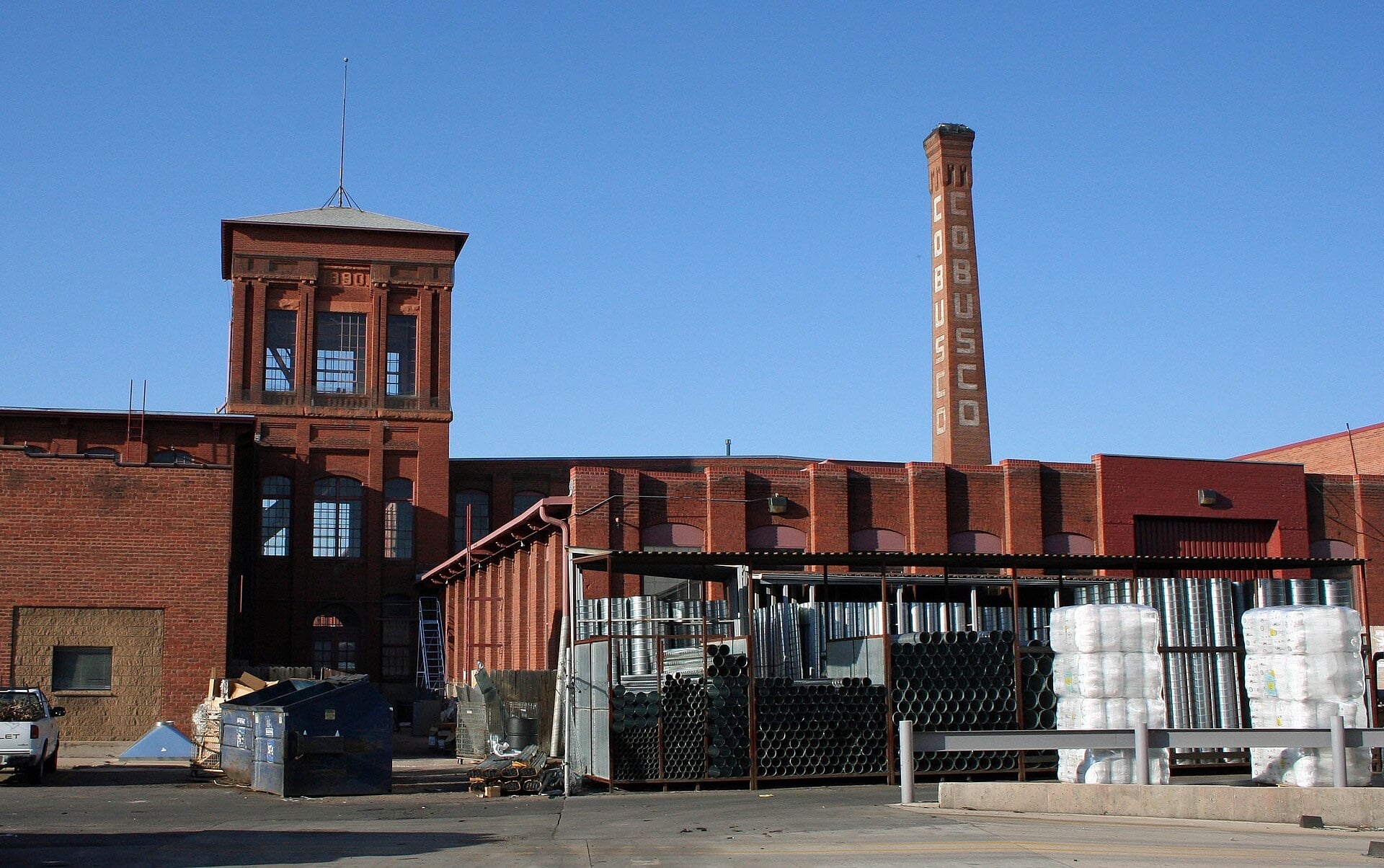
Housing stock: Denver Assessor open data, 2026-09-19.
Living in College View-South Platte
College View-South Platte is the southeast corner of what Denver calls its Far Southwest area, the part of the city west of the South Platte River and south of Jewell Avenue. Federal Boulevard runs down the neighborhood's west side, the river forms its east edge, and it reaches south to around Dartmouth Avenue. Most people just say College View. Overland sits across the river, and the old Loretto Heights campus is up on its hill to the southwest. Which college the name points to is anyone's guess: Loretto Heights to the southwest, or the University of Denver to the east.
Half-acre farm plats and the houses on them
This land was first laid out in half-acre parcels for small farms, and that history still shows in the lot sizes. Big residential lots are still one of College View's defining traits. A lot of the houses are single-family homes from the 1960s and 1970s, and they share the streets with older places, a Habitat for Humanity cluster and some newer builds. A few spots still read as rural, including an old ranch with horse stalls in the interior.
The mix changes quickly from one block to the next. If a big yard or room for a garden is high on your list, this is a good part of Denver to spend a Saturday driving. When you compare two listings here, weigh the land as carefully as the house, because the lots can be very different sizes.
West Harvard Gulch and the river
The West Harvard Gulch Trail cuts through the middle of the neighborhood, about 1.25 miles from Federal east to the river. It's a narrow concrete path, and there's parking off West Harvard Avenue, including three accessible spaces. At the east end it ties into the South Platte River Trail, so you can head north or south along the water.
La Lomita Park, at Asbury Avenue and Tejon Street, sits on a rise once known around here as Goat Hill.
Tortillas on Federal
Federal is the working edge of the neighborhood, with auto shops, a Walmart and taco stands along the fringes. Tortilleria Las III Americas, at 2690 S. Federal, has been making tortillas daily since 2001 and also sells burritos, masa and pastries; its red pork and green chile and cheese tamales put it on 5280's December 2025 list of the best tamales in and around Denver.
Light rail across the river
Evans station sits just across the river in Overland, at 2150 S. Delaware Street, with 99 parking spaces and bike lockers. The C Line came back there in June 2026, and since RTD's September 2026 service change it's the only line at Evans, running north to Union Station and south to Littleton-Mineral. RTD's 21 and 22 buses connect at the station. There's no pedestrian bridge at the station itself, and the closest river crossing is at West Jewell Avenue, two blocks north. If you'd ride the train to work, map the route from the specific house to the station, since the river sits between them.
Industrial land and the Loretto Heights redevelopment
City Council adopted the Far Southwest Area Plan on December 8, 2025. For College View, it calls for strengthening a manufacturing preservation area by rezoning some land from Industrial Flex, which allows homes, to an industrial district that doesn't. If you're looking at a house or lot near the industrial blocks, check its current zoning before you offer.
To the southwest, the Loretto Heights campus got a rezoning and development plan approved in June 2021. Its Administration Building is on the National Register, and Pancratia Hall, a 1928 dorm, is being turned into more than 70 affordable apartments.
FAQ
Where is College View-South Platte?
In southwest Denver, west of the South Platte River and south of Jewell Avenue, with Federal Boulevard on its west side. It reaches south to around Dartmouth Avenue.
Are the lots really bigger here?
Many are. The land was first platted in half-acre parcels for small farms, and big residential lots are still one of the neighborhood's defining traits, though sizes vary a lot block to block.
What kind of houses are in College View?
Mostly single-family homes, many from the 1960s and 1970s, along with older houses, a Habitat for Humanity cluster and some newer builds.
Is there a trail to the South Platte?
Yes. The West Harvard Gulch Trail runs about 1.25 miles from Federal east to the South Platte River Trail, with parking off West Harvard Avenue.
Can you take light rail from College View?
The closest station is Evans, just across the river at 2150 S. Delaware Street. The C Line runs from there to Union Station and Littleton-Mineral.
Is any zoning changing?
The Far Southwest Area Plan, adopted in December 2025, calls for rezoning some College View land from Industrial Flex to an industrial district that doesn't allow homes. Check a property's current zoning before you offer.