Let me show you around
Wheat Ridge
A Jefferson County city just west of Denver, mostly houses built between 1940 and 1979 on land that was orchards and greenhouses. Clear Creek's trail and lakes cross the middle, Crown Hill Park sits on the south edge, and Wadsworth and 38th Avenue carry the shops.
Live listings on compass.com. Send me any address and I’ll tell you what to look for.
Winter sun
Which driveways stay iced in December and which back yards keep the afternoon. Worth knowing before you fall for a house.
See how the winter sun falls on Wheat Ridge (opens in new tab)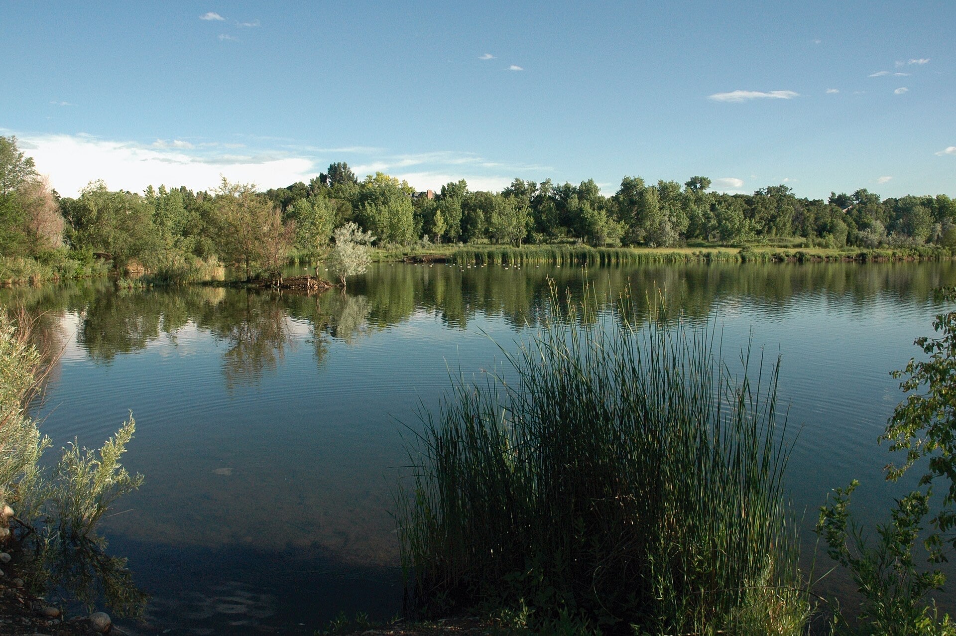
Living in Wheat Ridge
Wheat Ridge is its own city in Jefferson County, right on Denver's west edge and about 8.5 miles from the State Capitol. Arvada sits to the north and Lakewood to the south. Denver, Mountain View and Lakeside line the east side, Edgewater touches the southeast corner, and Applewood and Golden are off to the southwest. I-70 runs straight through, meeting State Highway 391 near the middle of town.
Gold rush stop, orchards, then carnations
In the late 1850s this was a rest stop on the way to the gold fields, and orchards and crop fields covered most of it until the 1960s. Carnation growing took off in the early 1900s, the area took to calling itself the Carnation Capital, and by mid-century 32 greenhouses were running here. Cheaper air freight and South American growers wore the business down, and the last carnation grower closed in 2008.
Wheat Ridge incorporated in 1969. The Carnation Festival started the next year and still takes over Anderson Park every August. The James H. Baugh House, an 1860 log cabin wrapped inside a farmhouse from around 1904, is on the National Register of Historic Places.
Houses from the 1940s through the 1970s
The large majority of single-family houses in Wheat Ridge went up between 1940 and 1979, so the housing stock runs considerably older than in neighboring cities. The city is largely built out, and a brand-new detached house is rare. Buying here usually means buying a house close to 50 years old or older, so weigh the age of the roof, sewer line and electrical as heavily as the floor plan.
The Clear Creek greenbelt and Crown Hill Park
A green corridor of lakes, trails and parks follows Clear Creek across the city. The trail runs about six and a half miles, mostly paved, with nine trailheads that have parking lots. Bass Lake is an eight-acre wetland with a 550-foot boardwalk, and Prospect Park sits under plains cottonwoods. If getting on the trail without driving matters to you, focus on the streets closest to the creek.
Crown Hill Park is 242 acres of Jefferson County open space between Wheat Ridge and Lakewood, with Kipling on its west side and West 26th Avenue along the south. Around Crown Hill Lake and Kestrel Pond there's about 6.5 miles of hard-surface trail and 3 miles of natural-surface trail, a National Urban Wildlife Refuge, and a horse arena by the equestrian lot.
Wadsworth, 38th Avenue and where to eat
Wadsworth Boulevard was rebuilt between 35th Avenue and I-70, and the city announced substantial completion in January 2026. It now has raised medians, a continuous sidewalk on the west side and a multi-use trail on the east side that ties into the Clear Creek Trail. The 38th and 44th Avenue crossings are continuous-flow intersections, the first in Jefferson County, so left turns there work differently than you might expect.
Dolce Sicilia Italian Bakery, at 3210 Wadsworth near 32nd Avenue, turns out Sicilian cookies, biscotti, cannoli and calzones, and it makes Sicilian-style pizza too. Clancy's Irish Pub opened in 1973 at 38th and Kipling, moved a few miles east to 7000 W. 38th Ave. after its strip mall was sold in 2014, and is the longest-running Irish bar in the state.
The G Line and I-70
RTD's G Line starts at the Wheat Ridge/Ward station, 12000 W. Ridge Road. It opened in 2019, has a 290-space park-and-ride, and runs commuter trains to Union Station. RTD's 44 bus also stops at the station, and I-70 crosses the city east to west.
FAQ
Is Wheat Ridge part of Denver?
No. Wheat Ridge is its own city in Jefferson County, incorporated in 1969, on Denver's west edge.
How old are the houses in Wheat Ridge?
The large majority of single-family houses were built between 1940 and 1979. The city is largely built out, so new detached houses are rare.
Can you take the train to Union Station from Wheat Ridge?
Yes. RTD's G Line starts at the Wheat Ridge/Ward station on West Ridge Road, which has a 290-space park-and-ride, and runs to Union Station.
What is the Wheat Ridge greenbelt?
It's the green corridor along Clear Creek, with about six and a half miles of mostly paved trail, nine trailheads with parking, several lakes and the Bass Lake boardwalk.
Why is Wheat Ridge tied to carnations?
Carnation growing took off in the early 1900s, and 32 greenhouses were running by mid-century. The last grower closed in 2008, and the Carnation Festival still runs every August at Anderson Park.
Is Wadsworth still under construction?
The rebuild between 35th Avenue and I-70 was announced as substantially complete in January 2026, with new medians, sidewalks, a trail on the east side and continuous-flow intersections at 38th and 44th.