Let me show you around
Hilltop
Mostly 1940s and '50s houses, plus a growing number of big new builds where originals came down, on the rise just east of Colorado Boulevard. Cranmer Park and its sundial sit at the top, and Robinson Park has the sledding hill.
About 55% of homes here were built between 1940 and 1959, median 2,660 sq ft. What to check on houses like these
Live listings on compass.com. Send me any address and I’ll tell you what to look for.
Winter sun
Which driveways stay iced in December and which back yards keep the afternoon. Worth knowing before you fall for a house.
See how the winter sun falls on Hilltop (opens in new tab)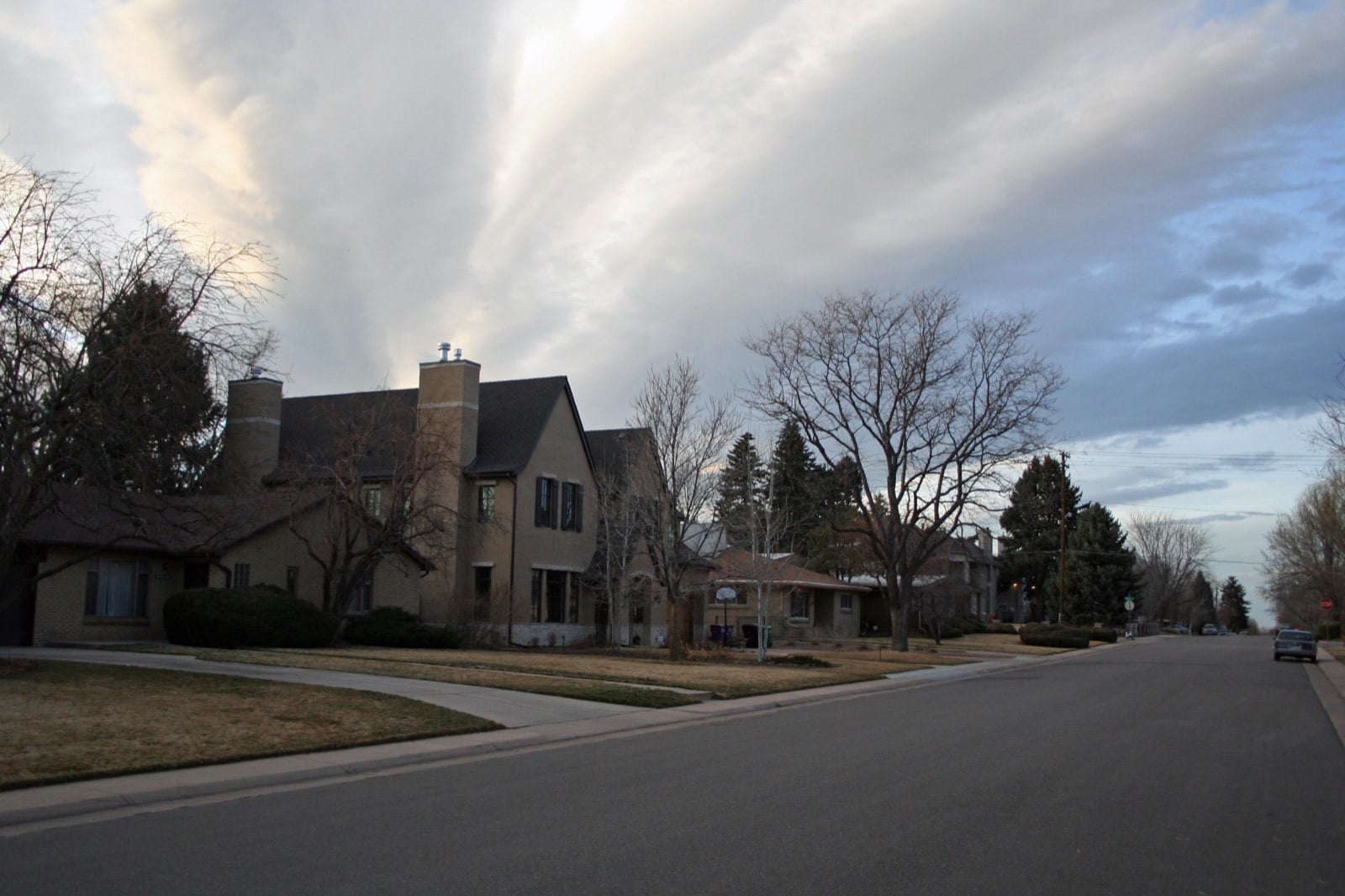
Housing stock: Denver Assessor open data, 2026-09-19.
Living in Hilltop
Hilltop sits on higher ground in east Denver, just across Colorado Boulevard from Cherry Creek North. The city's version runs from 6th Avenue south to Alameda Avenue, with an uneven east edge that reaches Quebec Street at the north end and takes in both sides of Monaco Parkway at the south. The Hilltop Neighborhood Association draws it differently: Colorado Boulevard to Holly Street, 8th Avenue to Alameda. So a house on 7th Avenue can be Hilltop to the association and Hale to the city. If a listing sits near any edge, check which map it's using.
Two subdivisions and a canal
In 1886 Milo A. Smith platted the Eastern Capitol Hill Subdivision on the newly green hill south of the City Lateral Canal, which ran along what became Thrice Place, between 3rd and 4th Avenues. In 1892 Bradford DuBois and William H. Malone laid out their own subdivision north of the canal. The two were mapped separately and never lined up, which is why some north-south streets jog at the old canal line. Denver annexed both in May 1893. Streetcars ran east on 8th Avenue and south on Quebec, and after World War II a commercial center grew up at Third and Holly.
The houses: postwar originals and big replacements
Of Hilltop's 2,803 detached single-family houses, 55 percent date from 1940 to 1959, 15 percent are older, 11 percent come from 1960 to 1999, and 19 percent were built in 2000 or later. The median detached house is about 2,660 square feet.
Since the 1990s, many of the original houses have come down and been replaced with large new ones on medium-sized lots, so one block can have a 1950s original next to a house from the 2000s. If you want something newer, the post-2000 houses, roughly one in five, are where to look. If you want an original, expect a bigger, newer neighbor on the block.
Cranmer Park and the sundial
Cranmer Park covers 24.3 acres in the middle of the neighborhood, between 1st and 3rd Avenues from roughly Cherry Street to Bellaire Street. The land was acquired in 1908, and the park was first called Mountain View Park because the terrace on the crest looks straight at the Front Range. Mountain profiles are etched into the terrazzo, with peaks like Pikes Peak and Longs Peak labeled, and the WPA paid for the terrazzo and the flower beds. The park is named for George Cranmer, a longtime manager of Denver Parks.
The six-foot sundial dates to 1941. Vandals blew up the first one with dynamite in September 1965, and a replica went in the following March. The plaza was restored in 2018 for $2 million, with $830,000 of that raised by neighbors, and it now drains better. The park has been on the National Register of Historic Places since 1986.
Robinson Park and the sledding hill
Robinson Park, at 200 Fairfax Street, covers about two square blocks. Its north-facing hill on 2nd Avenue, between Forest and Glencoe Streets, is steep enough for a fast ride and levels out at the bottom so sleds slow down on their own.
Holly Street, Cherry Creek and the main roads
Two long-running spots sit side by side on South Holly Street. Park Burger, at 211 S. Holly, is a local favorite burger counter, and the Royale with caramelized onions, blue cheese and bacon is a signature order. At 215 S. Holly, High Point Creamery opened its first shop in 2014 and won Westword's Best Ice Cream pick in 2017; salted caramel is its best-selling pint. It has since added shops in Berkeley, Central Park, the Ballpark area and Fort Collins.
For bigger shopping, Cherry Creek North is just across Colorado Boulevard (State Highway 2, the main north-south road here): a 16-block shopping and dining district along 1st, 2nd and 3rd Avenues (University Boulevard to Steele Street), with Cherry Creek Shopping Center on 1st. 6th Avenue and Alameda mark the north and south edges, and Monaco Parkway crosses the southeast corner.
FAQ
Where are Hilltop's boundaries?
The city's map runs from 6th Avenue to Alameda Avenue, with Colorado Boulevard on the west and an uneven east edge reaching Quebec Street at the north end. The neighborhood association uses Colorado Boulevard to Holly Street, 8th Avenue to Alameda.
How old are the houses in Hilltop?
Most detached houses (55 percent) date from 1940 to 1959, and 19 percent were built in 2000 or later. Since the 1990s, many originals have been replaced with large new houses.
How big are Hilltop houses?
The median detached house is about 2,660 square feet.
What's the sundial in Cranmer Park?
A six-foot sundial that dates to 1941. The first one was dynamited in 1965, a replica went in in 1966, and the plaza was restored in 2018.
Where's the sledding hill?
Robinson Park, at 200 Fairfax Street. The north-facing hill is on 2nd Avenue between Forest and Glencoe Streets.
How far is Cherry Creek North?
It's just across Colorado Boulevard, along 1st, 2nd and 3rd Avenues from University Boulevard to Steele Street.
Why do some streets jog?
Hilltop began as two subdivisions on either side of an old canal, mapped separately in 1886 and 1892, and their streets never lined up.